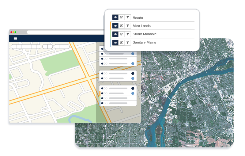
Centralize locations, maintenance history, and condition data so nothing falls through the cracks
See infrastructure condition and usage in one view and prioritize spending with real data


Transform how your organization manages assets, planning, and public engagement with a single, interactive map that brings all your geospatial data together.

Traditional Mapping
Separate workflows
EGIS: Centralized GIS platform with managed database
GIS Viewer: views and filters mapped layers inside Citywide software
EGIS: Role-based access with platform permissions
GIS Viewer: Flexible licensing to match organizational needs
Track every asset’s location, condition, and lifecycle on a single map while linking maintenance history and work orders
Get precise location data to design and upgrade infrastructure with confidence, backed by real-world facts
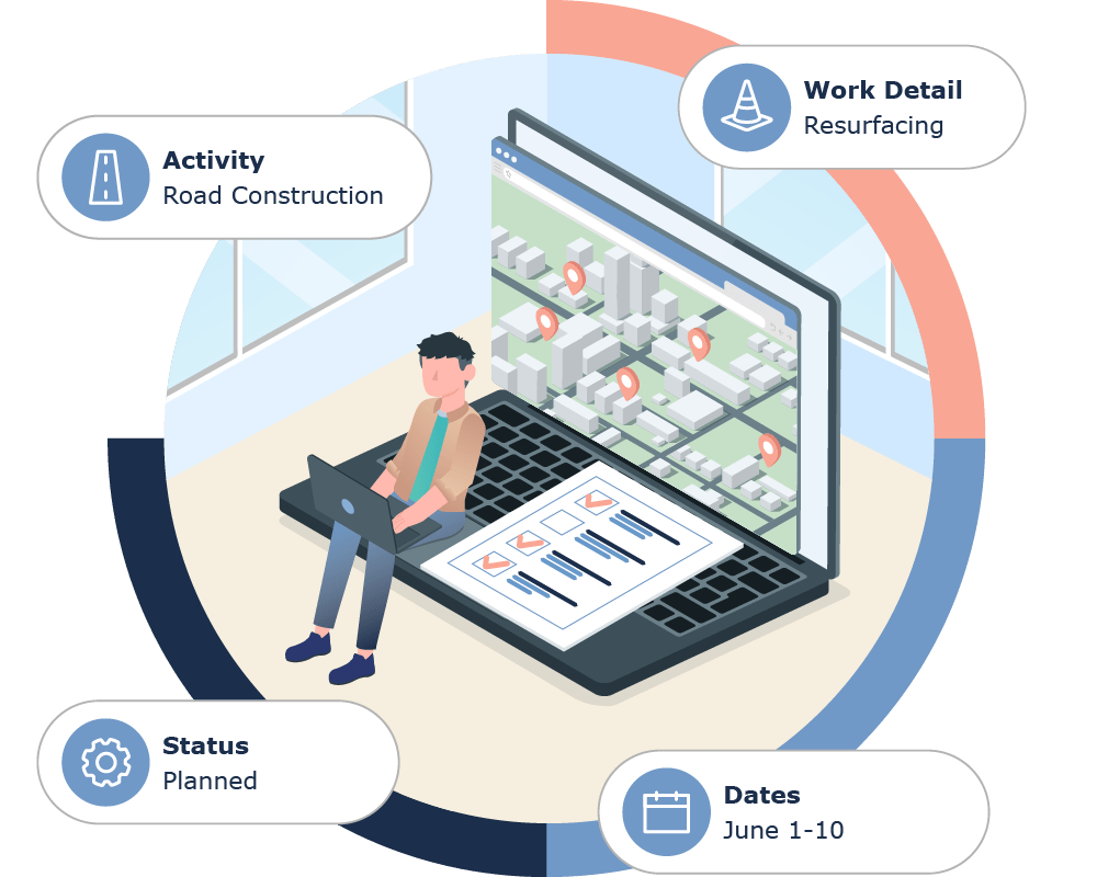
Visualize zoning, land use, and capital projects on interactive maps to accelerate approvals and community engagement
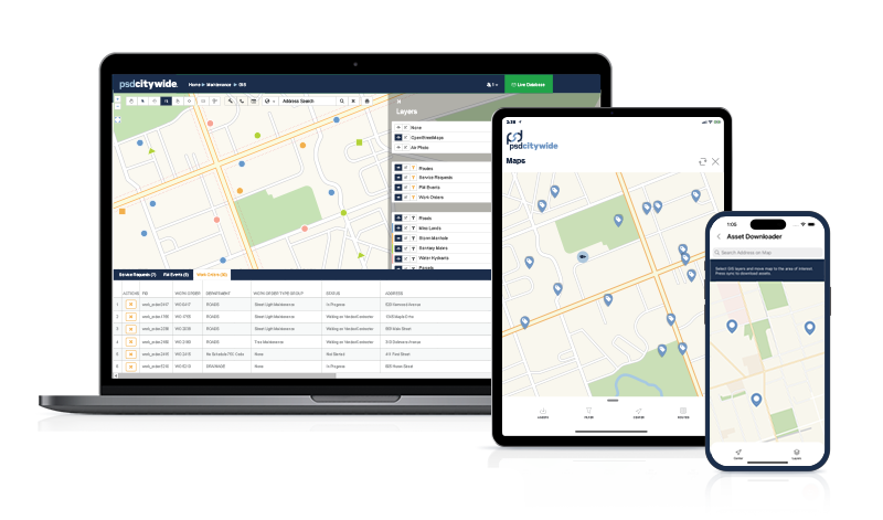
Dispatch crews faster with asset visibility, field-accessible maps, and offline mobile work orders
Map park assets and track trail conditions on a single map while automating maintenance schedules.
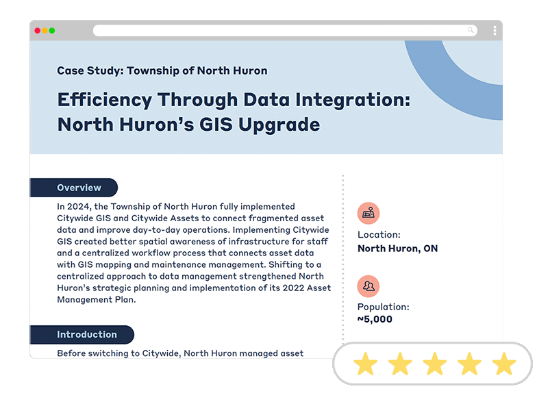
Case Study
Francene Francis,
Asset Management Coordinator, Township of North Huron
GIS helps municipalities manage assets by connecting asset data to an interactive map, enabling staff to visualize, analyze, and act on location-based information. It allows teams to locate assets, assess condition, prioritize work, and create service requests or work orders directly from the map—while keeping data updated and consistent across systems and field operations.
Yes. GIS can integrate with existing municipal systems, including ESRI ArcGIS and other line-of-business platforms. It connects through the Citywide API, web services, and data synchronization to link spatial data with asset, work order, and operational systems. This allows municipalities to maintain a single source of truth, automate data updates, and initiate workflows like service requests or maintenance from within the GIS interface.
A GIS platform stores spatial data as map layers along with associated attribute data, allowing users to search, filter, and analyze information by location. This can include infrastructure assets (like hydrants and storm basins), aerial imagery and base maps, administrative boundaries, and geolocated permits or licenses.
GIS software can be cloud-based or on-premise, depending on the platform and a municipality’s infrastructure. Citywide GIS is a cloud-hosted SaaS solution, with hosting, maintenance, and updates managed by PSD Citywide. It can integrate with both cloud and on-premise GIS systems—such as ArcGIS Online or ESRI web services—giving municipalities flexibility in how their spatial data is managed.
Implementing municipal GIS software can take as little as 6 weeks, depending on the scope and modules being deployed, such as asset management or permitting and licensing with GIS integration. Implementation stages can run concurrently and are delivered in phases, with the final timeline tailored in close collaboration with your team to align with operational needs, priorities, and existing workflows.