PSD Citywide Announces GIS Cloud as New Integration Partner
PSD Citywide Announces GIS Cloud as New Integration Partner New integration adds a public maps extension to the Citywide’s Enterprise GIS. London, Ontario & Zagreb, Croatia – September
Software Solutions > GIS Software
Software Solutions > GIS Software

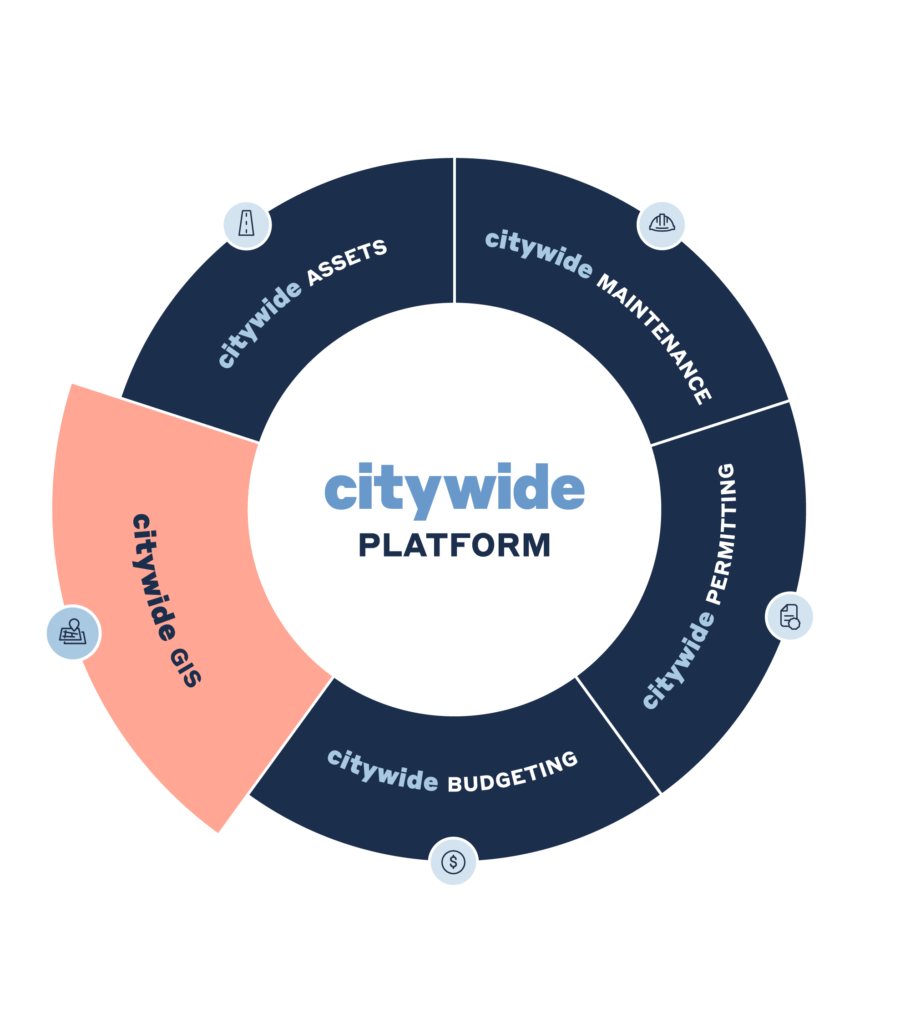
Citywide GIS is part of the cloud-based Citywide Platform, enabling real-time data sharing with the asset management tools offered by Citywide Assets and the work order and resource planning capabilities of Citywide Maintenance. This greatly enhances operational efficiency and decision making without expensive integrations.
Citywide GIS offers Enterprise-level mapping to support all applications on the platform. It also has the ability to import and present GIS data from third-parties, making it a truly unified, reliable, and flexible solution for local governments.








Citywide GIS is a cost-effective solution that integrates seamlessly with the Citywide Platform, offering the full functionality of an Enterprise GIS. Customize filters, symbols, and text styles, and easily highlight your infrastructure based on risk, asset condition, probability of failure, and more.

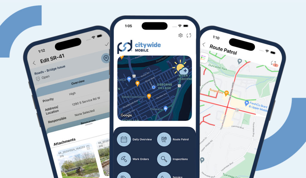
Track GIS data for assets such as buildings, roads, underground infrastructure, and natural features, even if mapped within another solution. Easily import, export, and view essential data in maps within various applications across the Citywide Platform in real-time.

Quickly analyze and share data across the Citywide Platform. Access dashboards, generate visual reports, create on-demand maps, and perform powerful analysis on all your assets. Easily share valuable GIS data across all departments and decision makers.

Enhanced Feature
Be More Transparent.
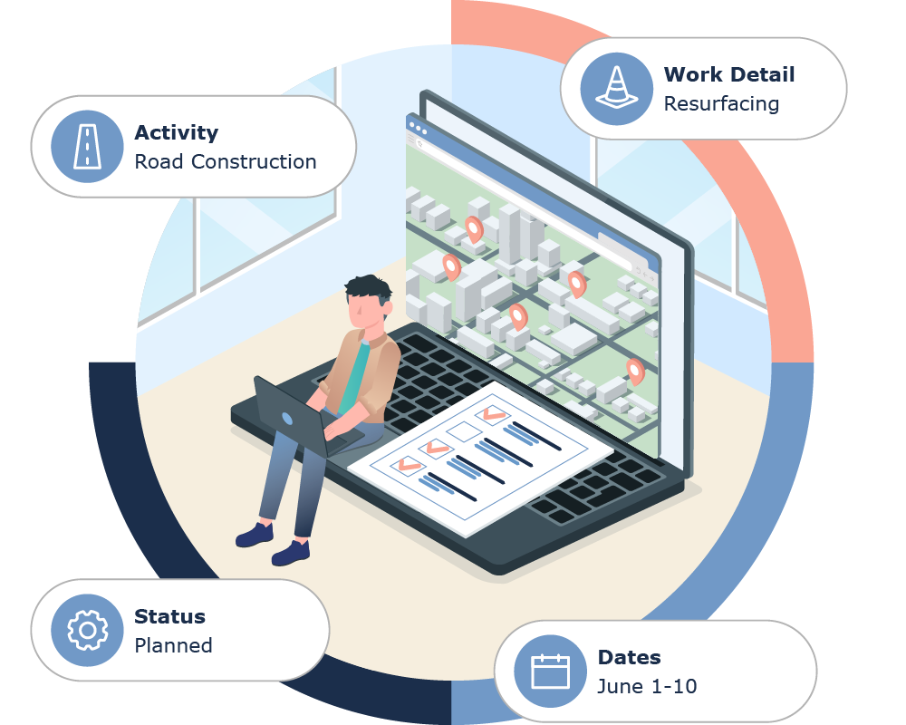
With public maps you can easily generate and update in real-time through Citywide GIS.


PSD Citywide Announces GIS Cloud as New Integration Partner New integration adds a public maps extension to the Citywide’s Enterprise GIS. London, Ontario & Zagreb, Croatia – September
Webinar Tech Tuesday Webinar Episode 5: Citywide GIS Overview Do more with your maps. Get the full picture, improve communication, and make data-driven decisions with Citywide GIS. Tune into this webinar
Free and open source software (FOSS) is increasingly being used by public sector organizations. Recently, the Canadian government issued the directive that wherever possible open source software and open standards

PSD Citywide Announces GIS Cloud as New Integration Partner New integration adds a public maps extension to the Citywide’s Enterprise GIS. London, Ontario & Zagreb, Croatia – September

Webinar Tech Tuesday Webinar Episode 5: Citywide GIS Overview Do more with your maps. Get the full picture, improve communication, and make data-driven decisions with Citywide GIS. Tune into this webinar
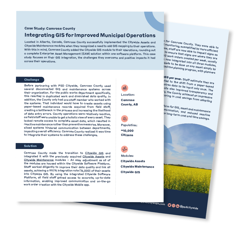
Camrose County successfully implemented the Citywide Assets and Citywide Maintenance modules when they recognized a need to add GIS mapping to their operations. This case study focuses on their GIS integration, the challenges they overcame, and the positive impacts it had across their operations.
Our team of experienced GIS/Data advisors and software implementation specialists are here to help you. Complete the form below to schedule a needs assessment call and start your GIS journey today!
